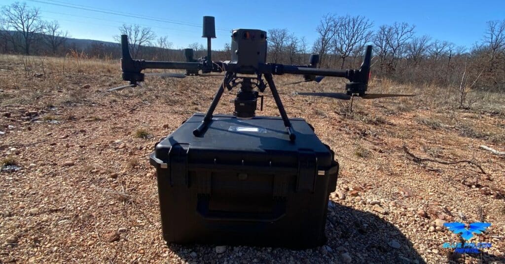
Drone technology has come a long way in recent years, and one of the most exciting advancements is the integration of LiDAR systems. LiDAR, which stands for Light Detection and Ranging, uses laser light to measure distances and create detailed, accurate maps of the environment. The Rock Robotic R2A is a cutting-edge LiDAR system designed specifically for drones, offering remarkable accuracy and flexibility. In this article, we’ll explore the features and capabilities of the Rock Robotic R2A and how it is transforming the world of drone-based LiDAR mapping.
Key Features of the Rock Robotic R2A
The Rock Robotic R2A boasts several impressive features that make it stand out in the world of drone LiDAR hardware. These include:
High-Performance LiDAR Sensor
The R2A is equipped with a state-of-the-art LiDAR sensor capable of capturing up to 700,000 points per second. This high point density allows for incredibly detailed and accurate mapping, making it ideal for a variety of applications such as surveying, forestry, and infrastructure inspection.
Lightweight Design
Weighing in at just 1.7 kg (3.75 lbs), the R2A is one of the lightest drone LiDAR systems available. Its lightweight design enables compatibility with a wide range of drone platforms and extends flight times, allowing for more efficient data collection.
Flexible Mounting Options
The R2A’s versatile mounting system enables it to be easily attached to various drone platforms. This flexibility allows users to choose the most suitable drone for their specific needs and applications, whether it’s a small quadcopter for quick inspections or a larger drone for more extensive mapping projects.
Advanced Data Processing
The Rock Robotic R2A features powerful data processing capabilities, allowing users to generate high-quality point clouds and other outputs quickly and easily. With advanced algorithms and user-friendly software, the R2A streamlines data processing and ensures accurate, reliable results.
Robust and Durable Construction
Designed with durability in mind, the R2A is built to withstand harsh conditions and rigorous use. Its rugged construction ensures reliable performance even in challenging environments, making it a reliable choice for professionals in various industries.
Applications of the Rock Robotic R2A
The Rock Robotic R2A is well-suited for a wide range of applications, thanks to its high-performance LiDAR sensor and versatile mounting options. Some of the most common uses include:
Surveying and mapping: The R2A’s high point density and accuracy make it ideal for creating detailed topographic maps and conducting land surveys.
Forestry management: By capturing detailed information about tree density, height, and health, the R2A can help forestry professionals make informed decisions about resource management and conservation.
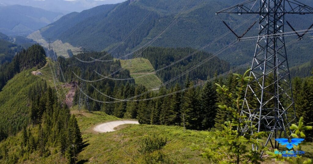
Infrastructure inspection: The R2A can be used to inspect bridges, power lines, and other critical infrastructure, enabling faster, safer, and more cost-effective inspections.
Environmental monitoring: The R2A can help researchers and conservationists monitor ecosystems, track changes over time, and assess the impact of human activity on the environment.
Emergency response: In the aftermath of natural disasters, the R2A can be deployed to quickly and accurately map affected areas, aiding in rescue efforts and damage assessment.
Conclusion
The Rock Robotic R2A represents a significant advancement in drone LiDAR technology, offering unparalleled performance, flexibility, and ease of use. Its high point density, lightweight design, and versatile mounting options make it an ideal choice for professionals in various industries. As drone technology continues to evolve, systems like the R2A will play an increasingly important role in shaping the future of aerial mapping and data collection.
Armed with this information, you can make more informed decisions when it comes to choosing the right LiDAR system for your needs. If you’re interested in learning more about the drone industry and how to build a successful drone business, be sure to check out this comprehensive guide.
For assistance with LiDAR or Orthomosaic projects, or if you have any questions, don’t hesitate to contact Blue Falcon Aerial. Our team of experts is ready to help you harness the power of drone technology to achieve your goals.